
Do I Need Verified Views for a Planning Application?
In short: If your project is in a sensitive location or likely to face public or committee scrutiny, the answer is almost always "Yes."
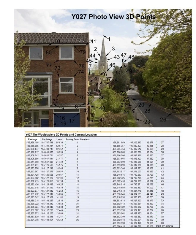
Verified Views (also known as Accurate Visual Representations or AVRs) are high-precision CGIs that are legally and technically robust. Unlike standard marketing renders, they are backed by topographical land surveys and RICS-regulated standards.
4 Signs You Need a Verified View:
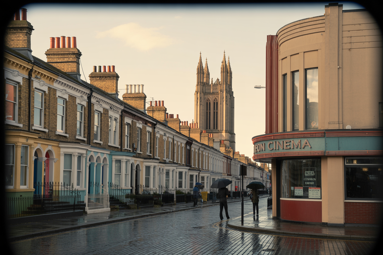
Heritage & Conservation: Your site is near Grade I or II* listed buildings or within a Conservation Area.
Skyline Impact: Your building will be visible from key protected vistas (common in London and major UK cities).
Scale & Massing: You need to prove to the Planning Officer exactly how the building sits in relation to its neighbors.
Committee Disputes: You need a "bulletproof" image to counter local objections during the public consultation phase.
The H4 Group Advantage
As an RICS-Regulated firm, H4 Group provides the technical "Surveyor’s DNA" required for these images. We don't just make it look good; we make it accurate to within a few millimeters.
The "What Do I Need?" Checklist (For your Sidebar)
To provide a quote for a Verified View, we typically need:
Topographical Survey (OS Map or Site Survey)
3D CAD Model (or 2D Plans/Elevations)
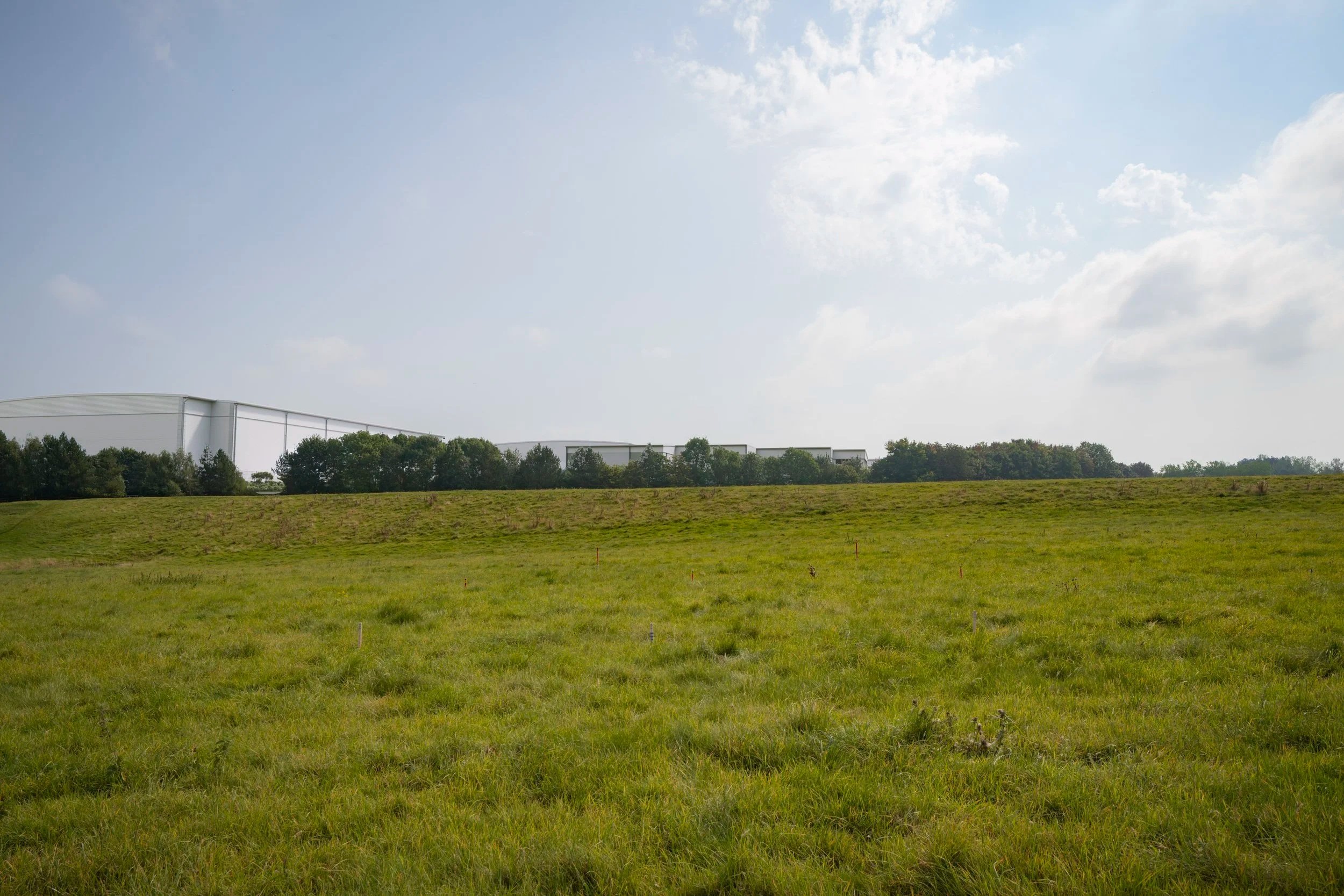
Photography (We can commission high-res site photography for you)
Camera Locations (Which specific streets or windows need to see the proposal?)